Data & Mapping
Mapping Services and Access in Manatee County
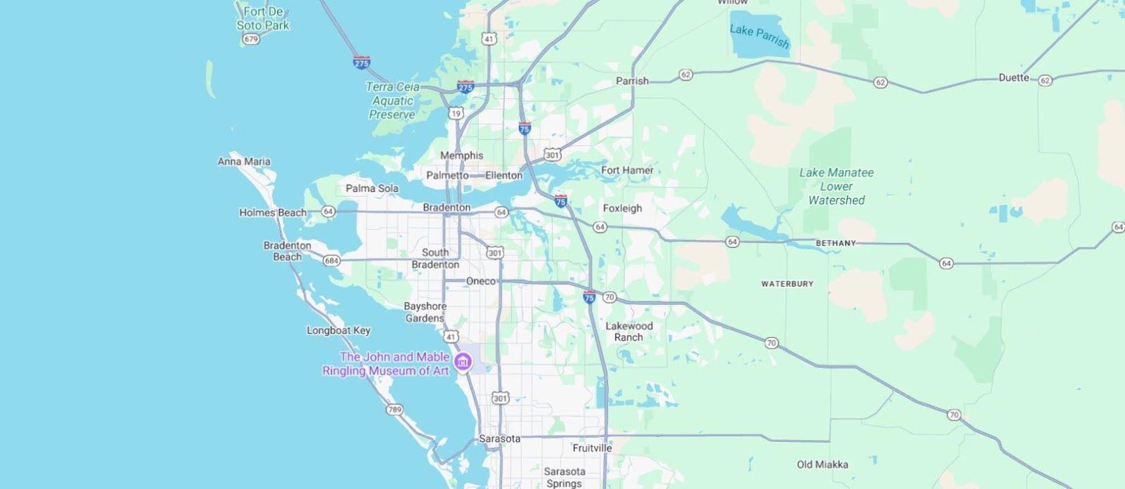
No single organization can see the whole food security landscape in Manatee County. A pantry in one neighborhood might not know that another program a mile away offers the same service, while a different part of the county has no food assistance at all. MFSN's interactive map gives providers, funders, and residents a shared picture of what's available, where efforts overlap, and where help is still needed most.
MFSN is updating this map in partnership with the University of South Florida’s Center Advancement of Food Security and Healthy Communities with 40 providers that have taken part. A new map is scheduled to be released in Fall 2026, with a detailed presentation during the December 2026 convening.
Manatee Food Mapping
This map is intended to illustrate food access based on pantry, grocers, schools and Summer Break Spots, showing locations and hours.
Updated July 2025
Food Map Chart
This is the same information above, but in a chart. It lists various food assistance providers in the Bradenton, Florida area, including pantries, summer BreakSpot locations, and large volume food distributors.
The document is organized into categories such as:
- Low-level pantry access (By appointment, members only or 1 day per week/month)
- High-level pantry access (8+ days per month)
- Summer BreakSpots (only during summer)
- Large Volume Food Distributors (Food Banks, Walmart, ALDI)
Updated July 2025